
Human Geography
GEOG 1101 – Parthi Krishnan
Comparative Geographic Analysis of Two Communities in Metro Vancouver
Summary
Students do a comparative analysis of two local communities in regard to which is the better choice to settle in and raise a family.
Description
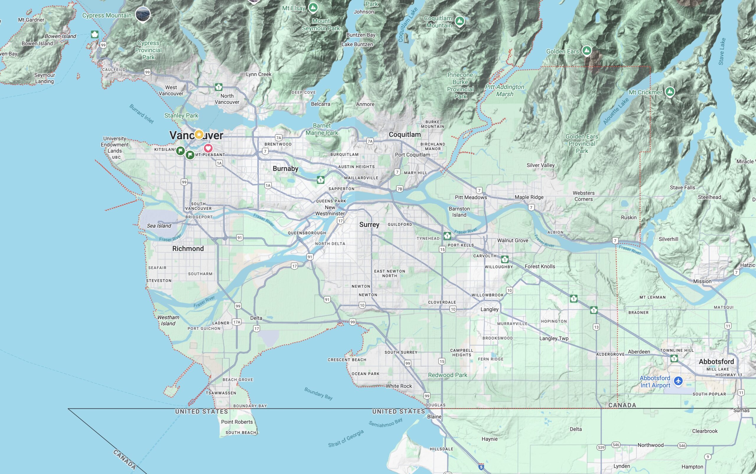
For my GEOG 1101 Human Geography course, I have a 6-week long research essay on a comparative geographical analysis of two communities in Metro Vancouver. Students choose two subcommunities (e.g. community/planning areas) within the various municipalities (cities, towns, villages) to compare which is the better choice to settle in and raise a new family in the next ten years, based on the student’s SPECIFIC CRITERIA chosen from at least THREE of the following sectors:
- Physical geography
- Population characteristics
- Social and cultural patterns
- Urban and settlement patterns
- Transportation and communication patterns
- Main economic sectors
Students need to identify what type of neighbourhood they want to live in that satisfies their SPECIFIC CRITERIA. In their methods section, they need to identify the data required for their analysis including types, sources, coverage, time frame and format. They also need to identify the analysis used such as the appropriate method of summarizing/analyzing the collected data, and the deliverables of the analysis such as the charts and maps to include in the written report. As the chosen areas are all in Metro Vancouver, this research essay allows students to conduct optional site visits.
The purposes of the assignment are to;
- get students to become familiar with geographical concepts,
- develop their research techniques for geographical analyses, and
- develop their research essay writing skills.
I usually direct students to the municipalities’ websites to introduce them to the various sub communities, planning areas, and neighbourhoods. I also encourage students to review the Official Community Plan (OCP), the associated sub area plans and other master plans and strategies to gain a better understanding and appreciation of the communities they live in and the plans for their development in the near future.
In another assignment, I use the cities’ WebGIS to get students to do change analysis of specific areas using aerial photos from different years, as well as flood impact analysis based on the flood zones of cities like Surrey, BC.